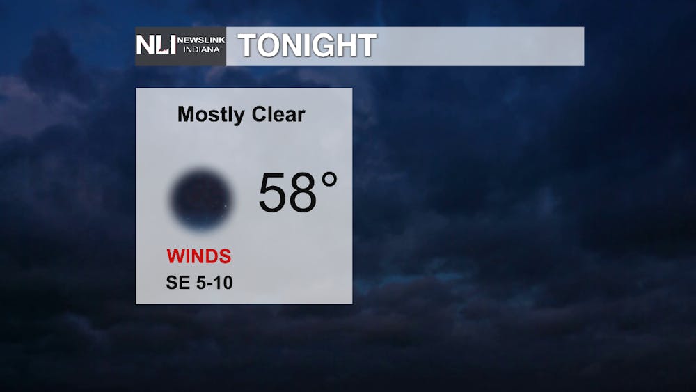
Tonight: Clouds move out through the night leaving us with a clear sky in the late evening areas. Lows stick on the warmer side, though it is the warmest night expected this week.

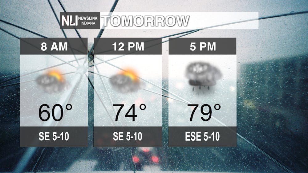
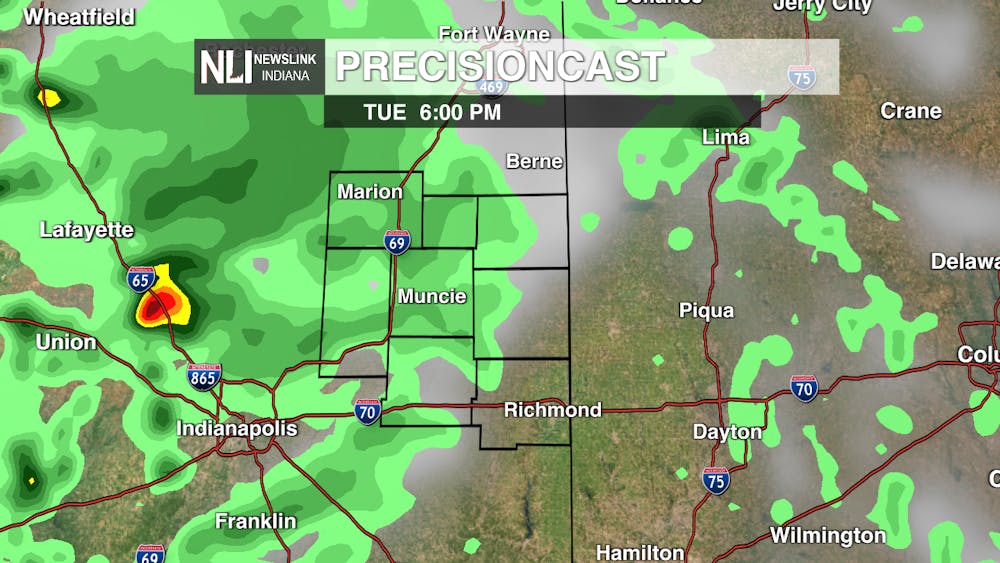
Tomorrow: Clouds gather again at the start of the day, increasing in front of a cold front that will bring some rain through the entire state. Rain starts in our area in the afternoon, with some storms expected in the overnight hours.

7-Day: Rain sticks around on Wednesday, with a rumble of thunder possible through the day. After Wednesday night we should be seeing a return to partly cloudy skies and temperatures bouncing around the average, and poping back into the eighties for the weekend. Sunny skies come back for the beginning of next week, lows decreasing slightly through the week.

--Assistant Chief Weather Forecaster Oliver Moster
Follow us on Twitter @NLIWeather for breaking weather updates.
NewsLink Indiana is a proud Ambassador for the NOAA Weather-Ready Nation program. For more information about the Weather-Ready Nation program please click HERE


The Daily News welcomes thoughtful discussion on all of our stories, but please keep comments civil and on-topic. Read our full guidelines here.