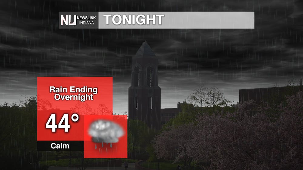
Tonight: Rain will gradually taper off into the overnight hours. Temperatures will drop off into the mid-40s by the morning.
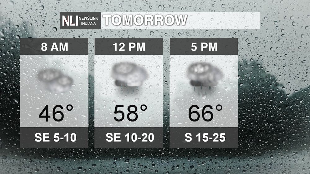
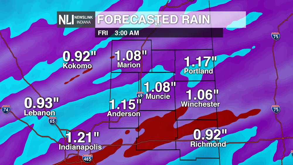
Tomorrow: More rain is expected by the afternoon into the early evening, along with temperatures soaring into the 60s. The overall duration and intensity of this rainfall will play a big role in whether we see severe thunderstorms late tomorrow evening and into the overnight hours. This rainfall, combined with today's rain, will lead to some localized flooding. Amounts of over one inch of rain are expected by Friday morning.
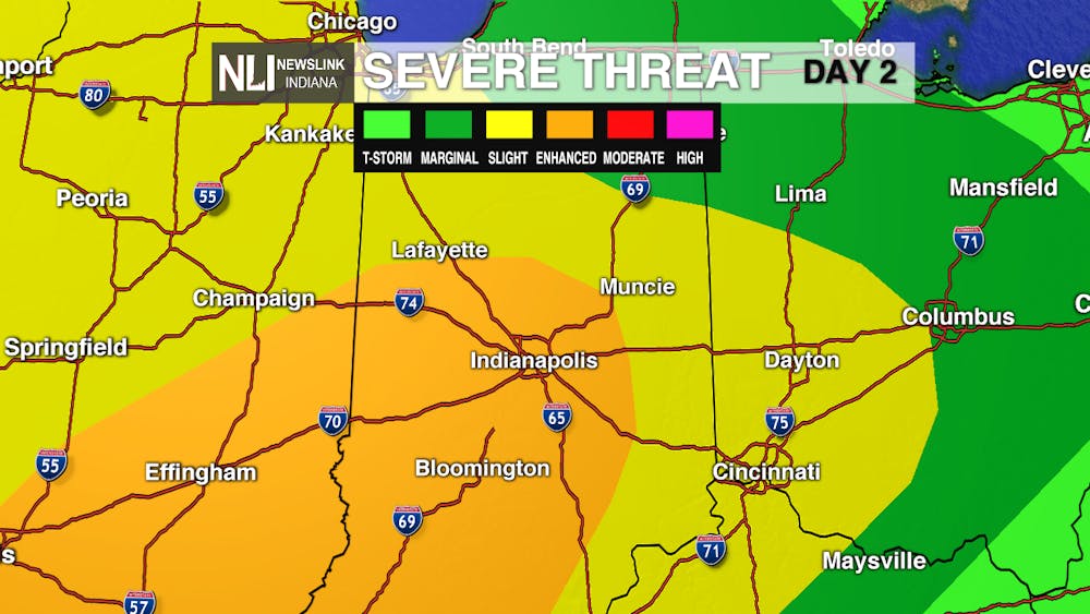
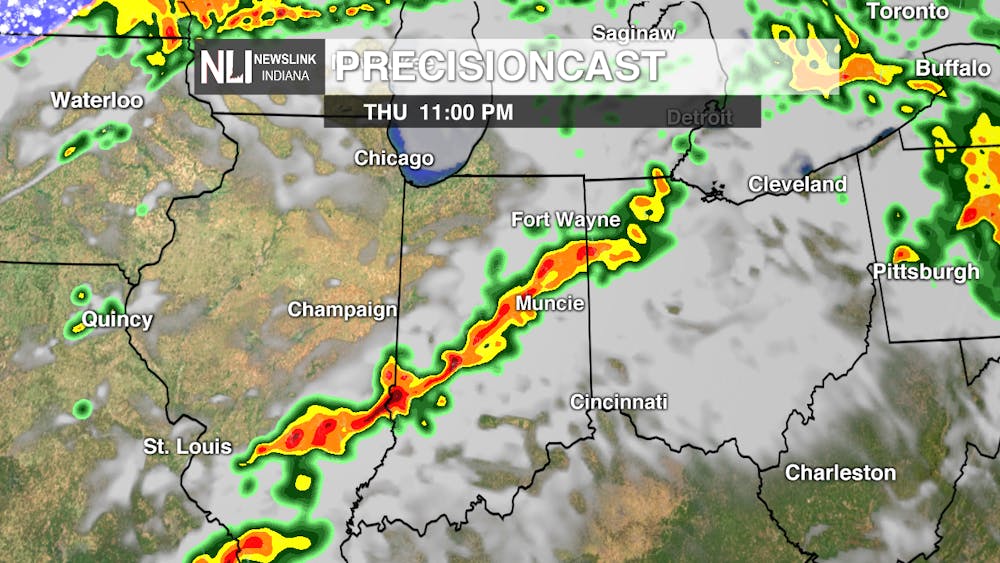
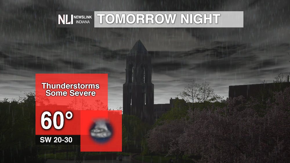
Tomorrow Night: Severe thunderstorms are possible during the late evening and overnight timeframe. Damaging winds, large hail, and isolated tornadoes are the main threats. Much of this storm risk will be determined by any clearing we receive during the evening hours. Precisioncast shows a line of strong thunderstorms developing before midnight, but severe weather is possible for several hours after dark. Have a way to receive thunderstorm warning information before you go to bed; a NOAA Weather Radio is a great option. Muncie is included in a level 2 "slight risk," while areas off to the southwest, including Indianapolis, are included in a level 3 "enhanced risk."
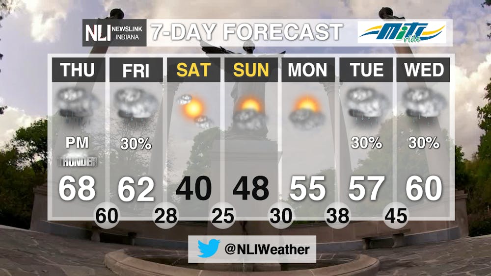
7-Day Forecast: Friday features falling temperatures and scattered showers. A very nice weekend is on tap, even though temperatures will be much cooler. Look for temperatures to rebound next weekend, with rain chances returning by Tuesday and Wednesday.
---Assistant Chief Weather Forecaster Nathan Gidley
Follow us on Twitter @NLIWeather for breaking weather updates.
NewsLink Indiana is a proud Ambassador for the NOAA Weather-Ready Nation program.
For more information about the Weather-Ready Nation program please click HERE



The Daily News welcomes thoughtful discussion on all of our stories, but please keep comments civil and on-topic. Read our full guidelines here.